Wednesday, January 25, 2012

Weekend in the City


Last week I had made plans to take the cable car up to the top of Pichincha, the volcano next to Quito, but the rain and clouds made us postpone our trip. Instead, I went on a run with some friends in the Parque Metropolitano, a forest behind my house. The trees were very beautiful, but I hardly noticed them because I was so focused on trying to breathe. This was my third run here in Quito. On the first day of “track class” at my University, we ran a loop that the coach says is 2 miles. I was very exhausted by the end (granted, half of it was uphill), but I was surprised to see that the time on my watch was 19:36 when I got back to campus. I may have underestimated the effects of the altitude here.
My track class stretching before a run.

Every Sunday the city closes one of the main avenues, Amazonas, and only allows bikes and pedestrians. The event is called Ciclopaseo, and I decided to take part this past Sunday with a friend from my program. After much searching I found a bike rental place online. On Sunday morning, after waiting for the thunderstorm to pass, we walked down to the rental shop.
Bikers on Amazonas.

When we got there we found that it was closed, so we asked a nearby policeman if he knew where we could rent bikes. He told us to walk down Amazonas to the Parque la Carolina and we would find a place on the way. After walking for 30ish minutes we asked another policeman if he knew. He said the park was close, but he wasn’t sure about bike rental places. “I always see people ride past with rented bikes,” he said, “but I’m not sure where they get them!”
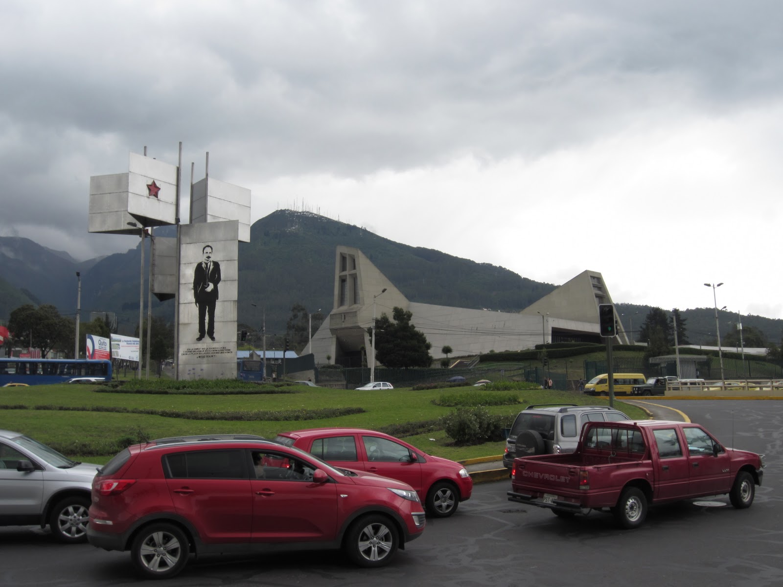
There are 63 statues of hummingbirds at the entrance of the Parque la Carolina! Pichincha is in the background under all those clouds.

At this point we accepted the fact that our bike ride had turned into a walk, so we strolled through the park and watched the games of Ecuavolley (a form of volleyball, but with a higher net and some other rule changes), basketball, and soccer being played by groups of families and friends. 

I remembered that there was a café in the area recommended by a friend who had studied here last semester. After asking several people and following very vague directions, we finally found Caffeto. 
Drinking coffee in a café that felt as though it were in the United States was a nice break. Over chocolate and apple muffins we chatted about how studying in Ecuador has made us appreciate and miss parts of a culture we didn’t even know we had. 


Thursday, January 19, 2012

Weekend in Otavalo


This past weekend we left at 7:30 am on Saturday to go to Otavalo, a town known for it’s indigenous population and textiles. I don’t think I have ever seen and learned so much in two days!

The first stop on the way was a pre-Incan indigenous site called Cochasqui where there are over a dozen multiple flat top pyramids and burial mounds. We all expected impressive terraced pyramids, but found what looked like square-ish hills. The guide explained that the civilization covered the pyramids with dirt and grass in order to hide them from the Incan invasion and then the Spanish.

On the right is a pyramid. The llamas are standing on one of the burial mounds.

It is very hard to restore the pyramids to their original state because they were built with permeable volcanic rock, so only parts have been excavated. This is also why, as our program director told us, archeology is not as “sexy” in Ecuador as it is in Mexico or Peru where the indigenous populations built with stone. There are many ruins in Ecuador, but the country is not known for archeological sites because only the foundations remain.
A restored section of the pyramids.

 On top of one of the pyramids are lunar and solar calendars. In Ecuador, crops can be planted year round, but the civilization that lived on this site planted their crops according to these very exact calendars.  
A skeleton of a woman excavated from the site.

We also got to feed the llamas some salt!

Next stop was the equatorial line. The monument we went to is exactly on the equator, unlike other monuments in Ecuador. When the French “discovered” the equator, they were actually a few hundred feet off, and therefore, many monuments in Ecuador are inaccurate. The indigenous populations figured out where the equatorial line was over 1,000 years before the French! 
This site is one of the best places to study the equator because Ecuador is the only country in the world where the equatorial line passes over mountains, providing excellent reference points. The monument was built just West of Catequilla, pre-Incan ruins that mark the exact line of the equator and tilt of the earth. Pretty impressive! 

We arrived in Otavalo in the afternoon with a few hours remaining to visit the market. At one point we got a little lost among all the alpaca blankets and sweaters, but eventually found our way back to the corn and banana vendors for an afternoon snack. 

That night we all went to an Italian restaurant with a live Ecuadorian band. Somehow the combination of American friends, Italian food, and Ecuadorian music blended perfectly and made for a fantastic evening:

The main event of Sunday was a short hike to some nearby waterfalls, but first we stopped to learn how some local instruments are made and listened to a performance by the family who makes them:
The Waterfalls!
Pre-Incan populations in the area used to bathe in this waterfall because the waters were said to have special qualities that gave strength and energy to the swimmers.


After drying off and warming up with some sort of hot berry drink in the little town next to the forest, we departed for a bird conservatory.


The Giant Andean Condor! It has a wingspan over 10 feet!

All the birds at the conservatory have been rescued and are released back into the wild if possible. We even saw one of the birds that played Hedwig in one of the Harry Potter movies!

After the bird watching, we learned about the process of weaving woolen textile by hand from a local couple:


1st step: separating the wool
2nd step: spinning the wool into yarn
3rd step: weaving

Our final stop was a volcanic lake at Cuicocha. We walked to a high point on the crater where there was a beautiful view of the lake and the surrounding valley. The clouds rolled in over the volcano and it felt like we were walking in the sky.

After the lake visit, we hopped back in the bus and departed for Quito. What was supposed to be a two hour drive turned into a five hour drive due to multiple car accidents and rain. When the two lane highway was completely blocked by a wall of cars doing U-turns (including a bus), we started grumbling about all the homework we had to do before classes the next morning. Our director told us to view this as a “great cultural experience”, and once we resigned ourselves to the situation we were stuck in, we had a great time telling stories and trying to stump each other with riddles. I have found that in Ecuador there is no choice but to go with the flow, and that usually makes for a better journey.


Thursday, January 12, 2012

First week in Quito


I knew Ecuador was going to be an adventure from the moment we landed…literally. As the plane bounced along the runway at an alarming speed, I looked over at the man sitting next to me and saw that even he, a man who has lived his entire life in Quito, was gripping the seat with white knuckles and looking at me with a similar expression of fear/surprise.

¡Fuerte!” he said.

When I told this story to the resident director of my program, he laughed and said that each time you land here in Quito, you are risking your life a little bit and that all the people who have been through the experience of landing in Quito are praying as the plane descends. Then he paused and added that actually, it is probably good to risk your life a little bit every day and that actually some would argue that you aren’t really living if you don’t. Well, I feel that my time in Quito so far has been very full of life. For example:
  • Taking the bus to school: The buses sometimes don’t stop all the way at the stations and the riders have to run and do a little hop in order to get on. The road to the university is winding, and it is well known that the bus drivers are “loco”. But if you look out the window as the bus whips around the turns, you can see three beautiful volcanoes in the distance. I have yet to manage a picture.
  • New food: here is an example of what you can get if you spend a lot ($5) on lunch: 


and juice too!

A little background on Quito
Before the Incas, there were many indigenous cultures here, some of whose ruins still exist. The Incas invaded in 1480 (approx.) and incorporated the indigenous traditions and languages into their own culture. The capital of the Incan empire was moved to Quito by the emperor Huayna Capac. A bloody civil war ensued between his sons, one Incan and the other half-indigenous, to whom he had given control of Quito and Cuzco. The Spanish, led by Francisco Pizzaro, invaded a few years after the end of the civil war and conquered Quito in 1534. Control of Quito was eventually given to Sebastian de Benalcazar, and he renamed the city San Francisco de Quito. The sites I have encountered in Quito are from the colonial period and independence:

The Church of San Francisco 


According to legend, the construction of the church was behind schedule, so an indigenous man named Cantuña offered to finish building it. In order to finish it on time, he made a pact with the Devil – his soul in exchange for the completion of the church. The devil finished building the church, but Cantuña noticed that there was a stone missing, and his soul was saved. When people visit this church they often look for the missing stone.

Fight for Independence

La Plaza Grande
This is the plaza where the people first called for independence from Spain during a protest on August 10, 1809. The lion on this statue represents the Spanish being driven from the city.

Pichincha
Simon Bolivar, a Venezuelan, led the fight for independence against Spain. Another Venezuelan, Antonio Jose de Sucre led the battle that won the fight for independence on the slopes of Pichincha on May 24, 1822. The currency used in Ecuador was called the Sucre until 2000 when the country switched to the US dollar. The view above is from El Panecillo where a sculpture of the Virgen of Quito stands. Below: The view of Pinchincha from Parque de la Madre. 
Pichincha is 15,695 ft. As a comparison: Mt. Rainier is 14, 411 ft.

I have also learned some cool facts about Quito and Ecuador that aren’t about the history of the place: The peak of Quito’s tallest volcano, Chimborazo, is the point on Earth closest to the Sun. People here say that there aren’t four seasons each year in Quito, there are four seasons each day. I found this to be true on the first day when I got slightly burned in the morning and then greatly regretted not bringing a coat and umbrella in the afternoon. And finally, Quito means “mitad del mundo,” which is where the name of this blog comes from!